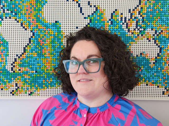
Located in South Australia, Maritza Kolega is a Senior Associate Geospatial Consultant and Team Leader at Tetra Tech Coffey. Her specialist work aims to harness the power of big data, turning it into meaningful visualisation and mapping to help people see the world ‘in a new way’. Whether it is tracking migratory patterns of seals in the Southern Ocean to mapping utility expansion projects Maritza’s experience spans all market sectors, within government, commercial, utility and resources industries. She is a graduate of the University of South Australia, with a Bachelor of Geographic Information Systems and is a Certified GIS Professional – Asia Pacific.
Maritza, tell us a bit about your background
I’ve always loved maps, science and design so when I found GIS at university it felt like a perfect fit. Since graduating I’ve worked within government and in the private sector, generally with an environmental flavour but I also dip in and out of pure surveying applications of spatial data like land tenure and cadastre.
Over the course of my career, I’ve mapped where seals populations swim to inform the design of marine parks, popped my head out the top of a wind turbine when mapping as-built locations and delivered training to local counterparts to capture data and generate maps supporting land rights in The Philippines.
Tell us about GIS services at Tetra Tech?
The Geospatial team are a tight knit group of 18 spatial data analytics and visualisation specialist based in locations around Australia and New Zealand. We use GIS to layer big data from government agencies with satellite imagery, on-site scientific studies and proposed developments to model locations around the globe as they existed in the past, are now and could be in the future when our clients projects are implemented.
We collaborate with the global Tetra Tech team to connect with specialists across the world, drawing on expertise to further enhance our client offering. Our recent collaboration combined our geospatial expertise with artificial intelligence and machine learning capability at Tetra Tech Delta in the USA to deliver an interactive asbestos heatmap to the Australian government’s Asbestos Safety and Eradication Agency (ASEA).
What are some of the key aspects of your role?
I talk with our clients and specialists to understand what problems they are trying to solve, map out what information they already have and what will need to be collected so that we can find solutions together. As a senior member of the team, I play a key role in advocating for the adoption of GIS across our service lines, maintain a healthy level of enthusiasm for good data management practices and enabling the expertise of Tetra Tech Coffey specialists to be shared with our clients, regulators and the community in easily digestible formats. For someone who chose a career with a visual medium as a communication tool I spend a lot of time talking!
What are some of the challenges you and the team are helping clients address?
Our society today is so data rich, and we are addressing the challenge of making data consumable and meaningful. Our clients recognise that the data that they keep and information they access is very important in letting them make good decisions. Our work is very much an enabler for ‘data-driven decisions’.
GIS lets us layer lots of different information together, using location to model connectedness and triage the relevance of information when we run analysis. We support clients across a range of sectors and industries in Australia, New Zealand and around the globe. We combine their corporate data with specialist studies like ground water monitoring and geotechnical, with contextual information including environmental, topographic and population data. We collate and analyse all that information to generate interactive WebGIS products and traditional maps that provide insights and actionable information. This enables our clients to better manage the earth’s resources, improve strategic planning, and facilitate decision-making that maximises efficiency and profitability. Think restoration of former industrial sites to enable residential developments in our cities or optimising transmission routes across our landscapes to deliver renewable energy to power our economy.
What excites you about working with our people and clients?
The technology in our area moves quickly, so it’s quite a dynamic space to work and I love the variety of projects we get involved in. I know not everyone loves data as much as I do but I really do enjoy applying scientific rigor and organising data to generate maps that truthfully communicate information. And I would always rather consume my information as a picture than reading a report. Perhaps I should have answered these questions with a graphic instead…
In your opinion, what makes GIS so unique as a career?
I think GIS stands out as a connector of the STEAM disciplines. It’s all about combining complex information in a visually engaging way, enabling anyone to quickly see how phenomena and features interact and what levers we can pull to make changes to the world around us.
Connect with Maritza Kolega at Maritza.Kolega@tetratech.com