The Victorian Murray Floodplain Restoration Project (VMFRP) will get much needed water back onto nine high-value floodplains along the Murray River. Without this water, these iconic landscapes will continue to decline, along with the many native trees, animals and plants that depend on them.
Tetra Tech Coffey has been awarded an engagement to provide GIS services to VMFRP for two years (with the option for an additional two years) to support the project design, regulatory approvals, and engagement activities across the nine sites along the Murray River.
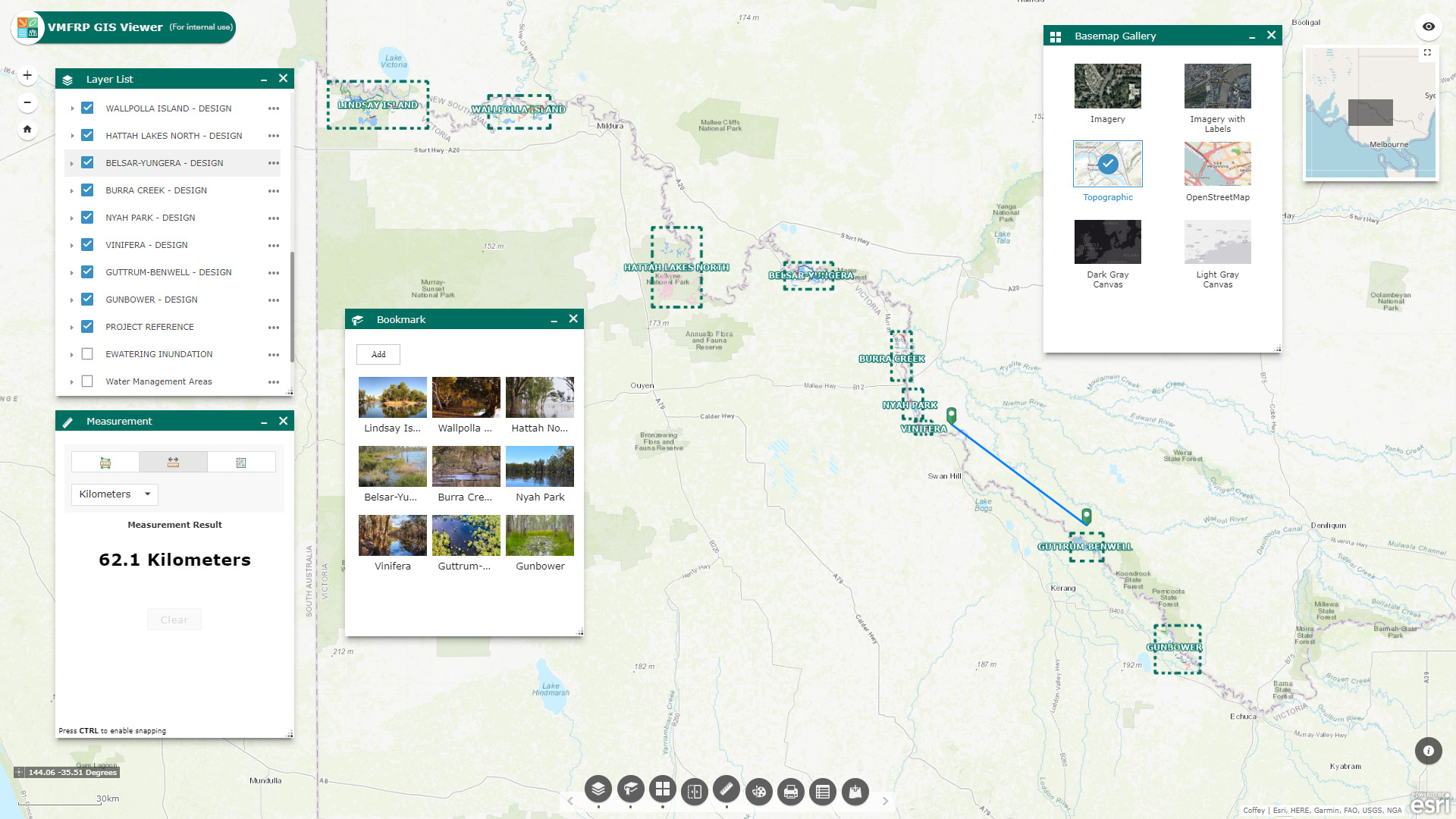
The GIS services scope involves GIS establishment, authoring the GIS Standard Operating Procedure (SOP) documentation, spatial data management and maintenance, complex spatial analysis and calculations, mass GIS map production including for Environmental Effects Statements (EES) and Environment Reports (ER), building and deploying Mobile GIS solutions for in-field data capture, and building and maintaining a WebGIS portal and various WebGIS apps.
In addition to the GIS services scope, Tetra Tech Coffey has also been awarded a GIS/IT hosting scope. We are providing an ArcGIS Enterprise GIS solution to host, manage and operate the VMFRP GIS and data to support project services and activities for the duration of the project.
Services Provided
Client name: Lower Murray Water
Location: Victoria
Duration: March 2021 – March 2023 (option to extend to December 2023)
Services provided: GIS Services