Delivering environmental, land use planning, and heritage advisory services to support Project Marinus since 2018
TasNetwork’s Marinus Link will connect the Tasmanian and Victorian transmission systems by means of a subsea electricity interconnector cable with a range of capacity between 600MW and 1200MW.
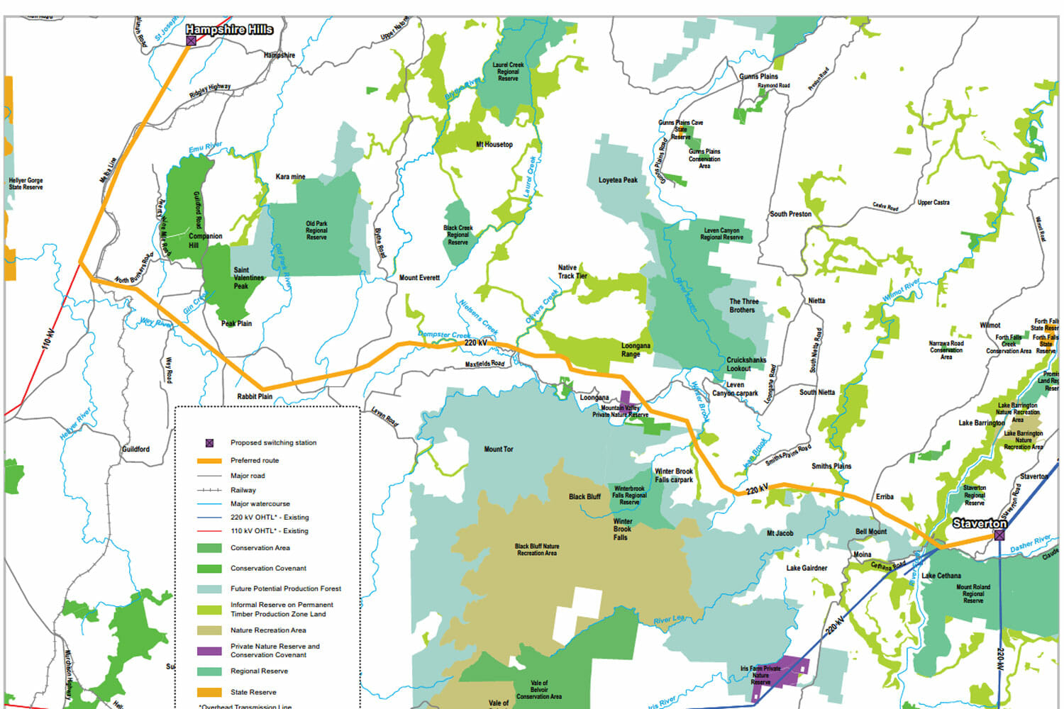
The project route options traverse a broad range of terrestrial environments in both Victoria and Tasmania ranging from urban, rural, peri urban, plantation and forestry and undisturbed natural environments. It also traverses the marine environment across Bass Strait between Victoria and Tasmania and this includes near shore environments. They also cross three jurisdictional boundaries of Victoria, Tasmania and Commonwealth.
A dedicated team of Geospatial consultants are dedicated to run the Project Marinus GIS, with provision to draw on specialists’ expertise or ramp-up resources from the entire GIS team as required during Project peaks and reporting periods.
The Project GIS has been setup in Tetra Tech Coffey’s ArcGIS Enterprise system, creating a central repository of all geospatial data and resources, allowing us to control data quality and versioning and to assure that the Project GIS remains as the source of single point-of-truth.
Tetra Tech Coffey also setup and maintain a Project WebGIS that empowers our teams, client and other authorised stakeholders to securely access authoritative geospatial information and resources, at all times, from anywhere, on any device. At present, 90+ client and Tetra Tech Coffey team members are using the WebGIS to view and interrogate the project design options, environmental, land use and heritage data via Internet browsers and Apps on mobile devices.
Field work and stakeholder engagement activities are managed via a Collector Mobile GIS solution, allowing data captured in the field to be viewed in real time by the office-based team.
Along with collating open-source GIS data for Tasmania, Victoria and the Commonwealth, we manage data collated or collected by the 15 sub-consultants engaged on the project. The GIS team is in constant contact with the TasNetworks GIS team to facilitate data transfer between Tetra Tech Coffey and TasNetworks.
Tetra Tech Coffey GIS also produces posters for community consultation meetings and individual landholder figures for stakeholder engagement.
More information on the project can be found here: www.marinuslink.com.au

Dedicated GIS experts to help Project Marinus link Tasmania and Victoria
Client name: TasNetworks
Location: Victoria, Tasmania, and Bass Strait
Duration: 2018- Ongoing
Services provided: Project GIS, Web GIS, Field GIS