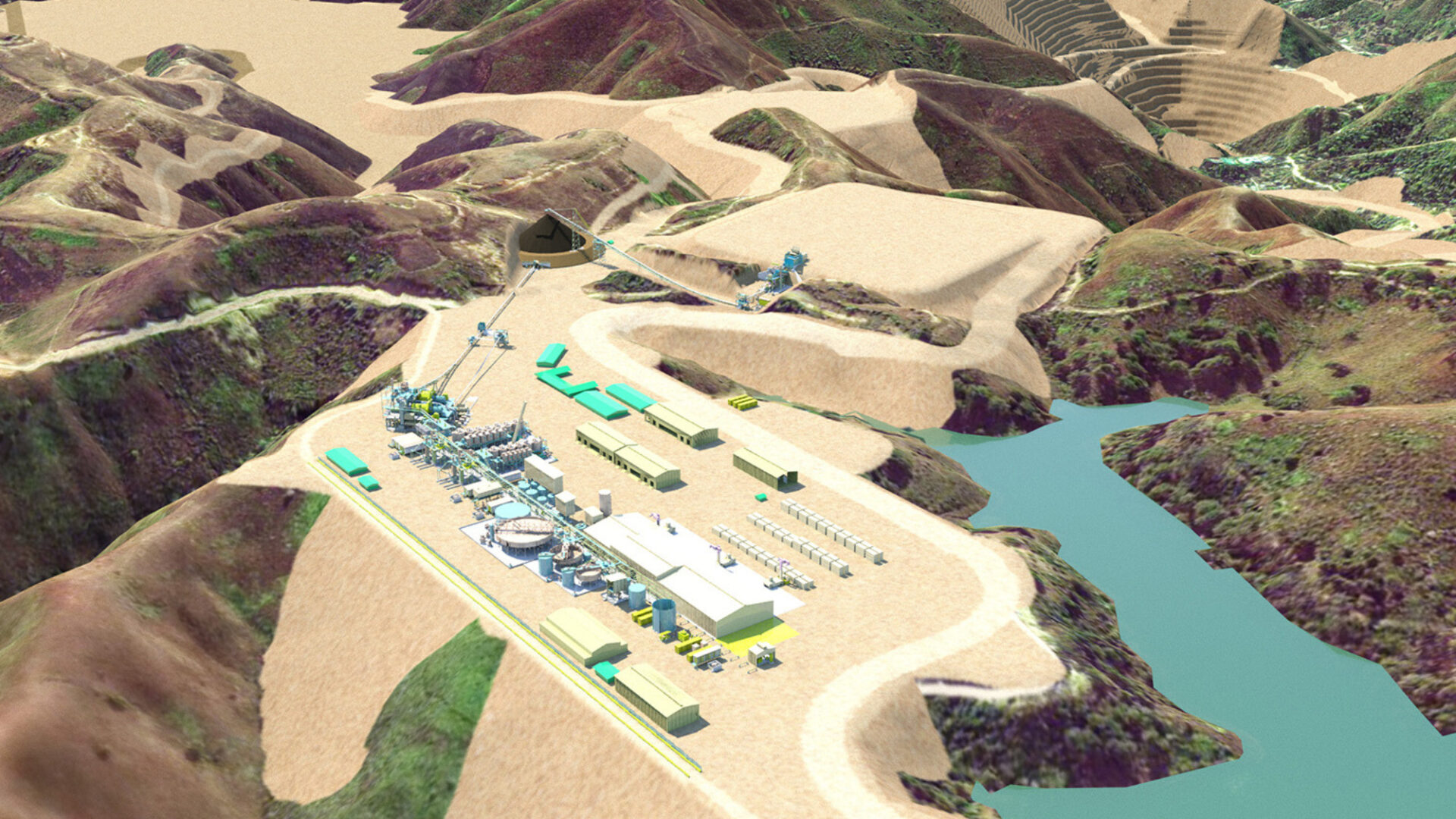
Our geospatial specialists provide clients with both scientific and aesthetically-pleasing data visualisation tools to help reduce their construction and operations costs, and manage efficient programs.
As technology and complexity evolve, our experts have made remarkable progress in our digital delivery capabilities. We seek to continually improve on traditional cartographic and visual production across the following areas:
- Cartographic polishing and mapping
- Technical illustration and graphic design (Construction Simulation Modelling, infographics, interactive PDFs)
- Web-based GIS and mapping (WebGIS, Webmap, StoryMaps, interactive dashboards)
- Fly-through, flyby, and video animation
- Photomontages and visual impact assessments
- 3D digital models and printing
- BIM and digital twins delivery via WebGIS
- Virtual and augmented reality.