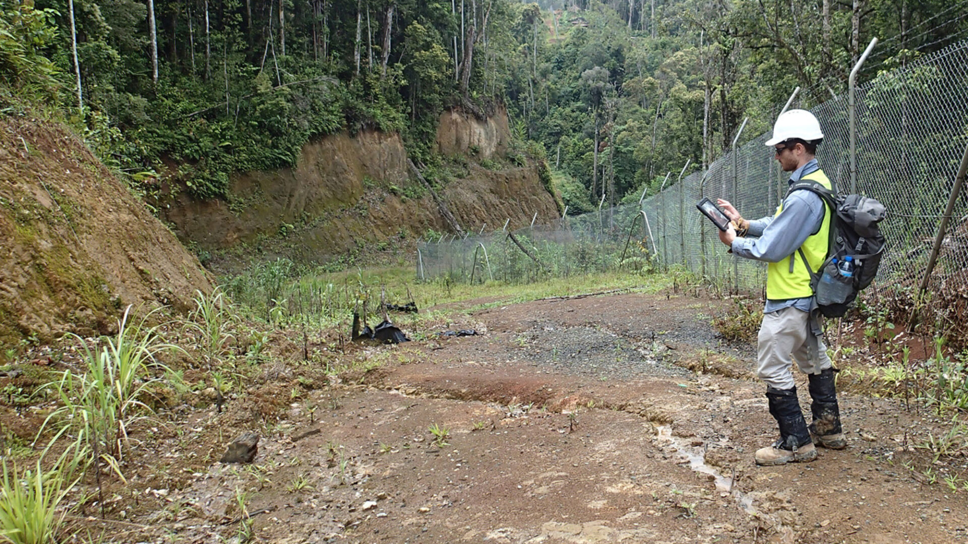
Tetra Tech Coffey is recognised as an early adopter of integrated, digital in-field data collection solutions.
We use geospatial technologies to gather, capture, organise, and analyse data on a project site. We then interpret and present the information to support informed decisions on constraints, priorities, and risks. We are experts in data collection, including various methods of aerial, land, and hydrographic surveys. To meet the survey and mapping challenges from our clients, we also draw on the expertise from Tetra Tech’s global network.
Our services include:
- In-field digital mapping and data collection
- Online surveys and data analysis
- Terrestrial LiDAR
- Unmanned aerial vehicle (UAV) system data collection.